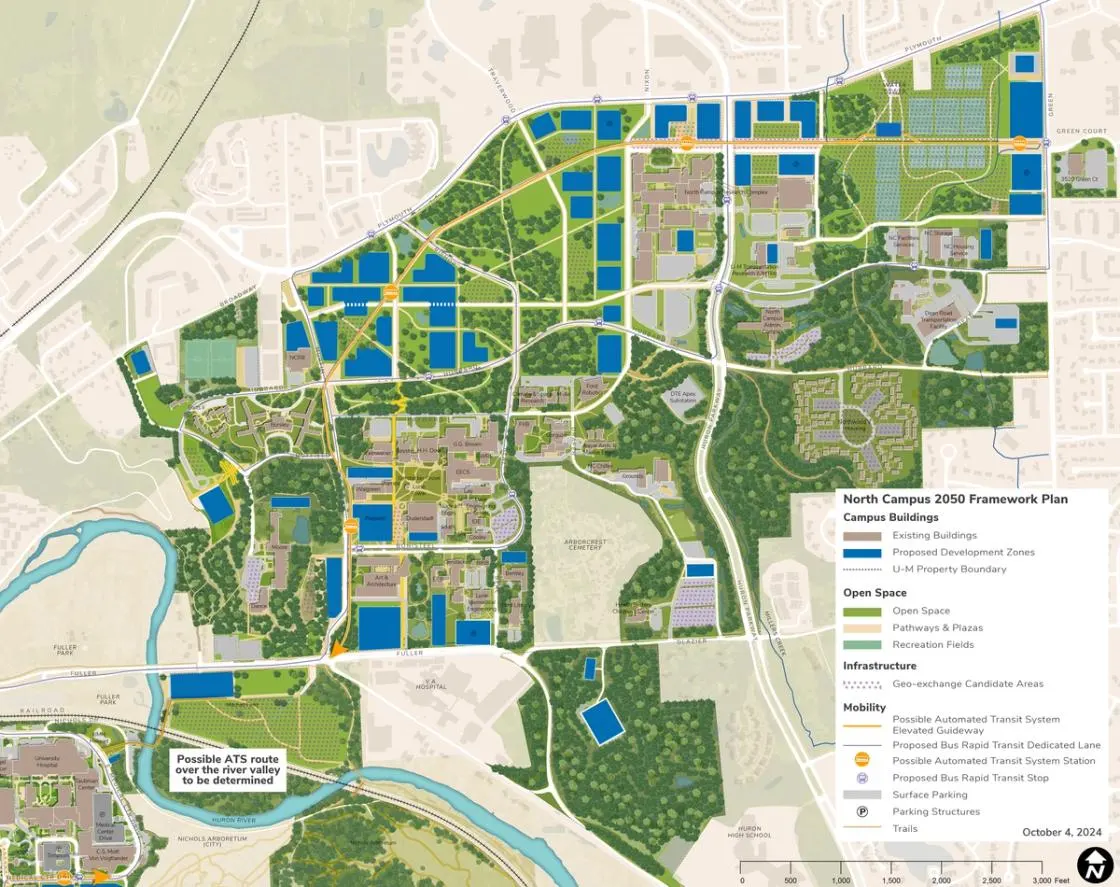
From its beginning as a research campus in the 1950s, North Campus has evolved to become a center of academic, research, and student activity at U-M.
As U-M’s largest land resource, North Campus is key to the future of the academic, research, innovation, student life, cultural, and partnership mission of the university. It is here that opportunities exist to create a model of campus planning to accommodate growth over the next 25 years and well beyond. Campus Plan 2050 calls for strategic reinvestment in existing buildings in support of the mission, programmatic needs, opportunities to improve energy efficiency, and deferred maintenance.
The plan includes a number of new facilities to support mission-driven academic, research, and innovation goals. These include:
- An Innovation District featuring a research and innovation hub and a hotel and conference center.
- New housing.
- Campus life amenities including a renovation or replacement of Pierpont, and the creation of a recreation and geo-exchange and ground source heat pump complex.
Example recommendations for North Campus and each of its sub-campus areas support the Vision 2034 impact areas as follows:
North Campus Recommendations
Life-Changing Education
- One of the highest plan priorities is to reinvest in existing academic facilities to support purpose-driven education and research opportunities.
- New and expanded housing is recommended to » enhance the student experience.
- New recreation facilities are proposed to contribute to student engagement.
Human Health and Well-Being
- Expansion of recreation facilities will be explored to contribute to the health and well-being of North Campus users and residents.
- The recreation complex featured in the plan at Plymouth and Green contributes to intramural sports and daily recreational activities, and addresses significant shortfalls in field space.
- Access to an expanded trail and pathway network is proposed to provide access to nature and to create opportunities for exercise.
Democracy, Civic and Global Engagement
- A new or reimagined Pierpont Commons is encouraged to offer opportunities for new types of engagement space for a diverse student and staff population.
- Expanded libraries with potential collaboration spaces are included to create welcoming spaces for respectful discourse.
- The proposed Innovation District and enhanced NCRC are high priority recommendations that support research and scholarship partnerships.
- The proposed hotel and conference center is another major recommendation that would provide gathering spaces for the university, industry, and the broader community.
- The Research and Innovation Hub is a near-term priority to provide collaboration and research opportunities for U-M faculty, staff, and students, and provides access to partners.
Climate Action, Sustainability and Environmental Justice
- Geo-exchange and ground source heat pumps and solar PV installations are planned and should be sized to meet current and future energy needs of North Campus.
- All proposed buildings will strive to achieve carbon neutrality and maximize their impact on U-M's broader sustainability goals, including considerations of embodied energy.
- Energy efficiency upgrades for existing buildings is a high priority of the plan to meet university climate action goals.
- Biodiversity, carbon sequestration, and the management of stormwater and other natural systems are identified in the plan as importantfactors to manage carefully to yield a high quality landscape and open space system.
- Integrated planning and working landscapes contribute to the environmental performance of the campus.
Collaboration and Connectivity
- The proposed ATS system should be explored to offer convenient connectivity between Central, Medical Center, and North campuses with the aim of supporting programmatic, social, and operational connectivity.
- The proposed ATS should be supplemented by an extensive proposed BRT network to provide links within North Campus and beyond.
- The North Campus plan recognizes the importance of balancing parking needs with new development and reinvestment, while integrating enhanced transit options into a cohesive strategy.
-
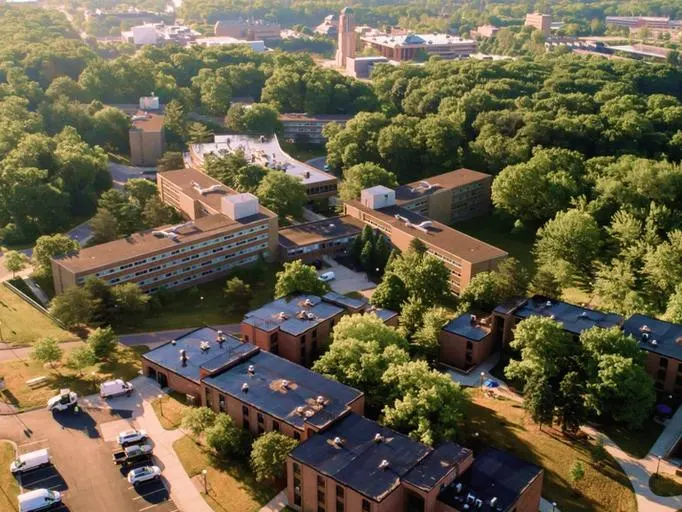 West Area
The West Area is the northwest area of North Campus. It is surrounded by private housing to its north and west and bound by Broadway Street, Duffield Street, Baits Drive, the Huron River, and Murfin Avenue.
-
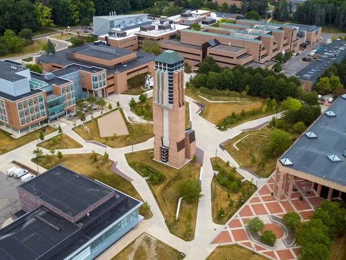 Central Core - Gerstacker Grove
The Central Core Area-Gerstacker Grove is bound by Hubbard Street, Murfin Avenue, Bonisteel Boulevard, and Beal Avenue.
-
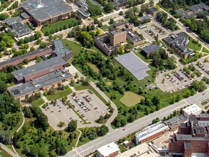 Central Core - South of Bonisteel
The area south of Bonisteel is defined by Fuller Road on the south, Bonisteel on the west and north, and the Arborcrest Cemetery on the east.
-
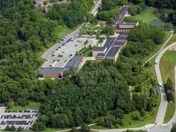 South Core
This wooded area is the home to major facilities of the School of Music, Theatre & Dance including the E.V. Moore Building, Brehm Pavilion, and the Dance Building.
-
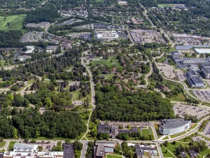 Innovation District
The proposed area for the Innovation District is bound by Plymouth Avenue, Murfin Avenue, Hubbard Street, and Millers Creek, east of the North Campus Research Complex.
-
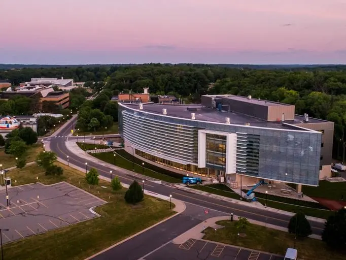 East Core
The East Core Area is bound by Hubbard Street, the walking paths connecting Hayward Street to Hubbard Street, Beal Avenue extending northward, parking lot NC-19, and Huron Parkway.
-
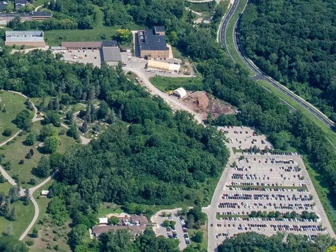 Draper Road
The Draper Road Area is defined by Glazier Way on the south, Huron Parkway on the east, and the edge of the privately owned Arborcrest Cemetery to the west.
-
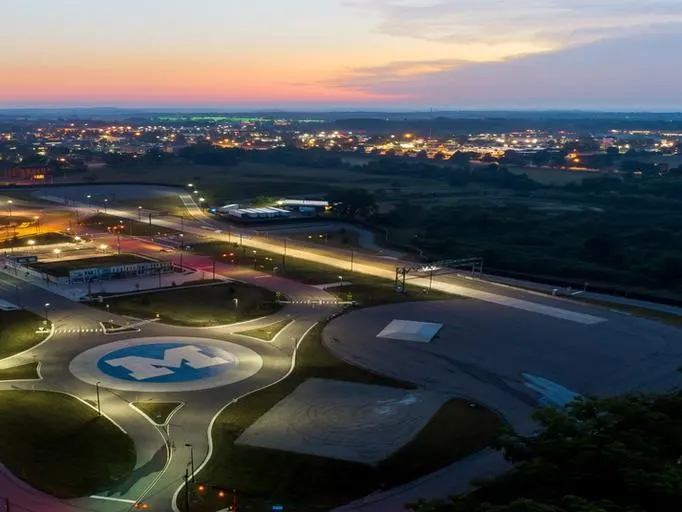 Northeast Area
Located at the northeast corner of North Campus, the Northeast Area is generally defined by Plymouth Road on the north, Green Road on the east, Millers Creek on the west, and Baxter Road on the south.
-
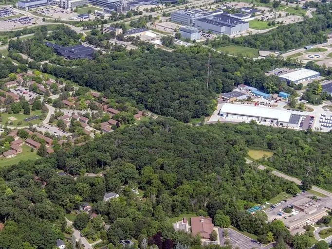 East Area
The East Area is located south of the Northeast Area. It is bound by Baxter Road, Huron Parkway, Green Road, and private housing to the south.
-
 Mitchell Field
Located in the Huron River Valley, the Mitchell Field Area is generally defined by the Huron River on the south and west, Fuller Road on the north, and Fuller Court on the east.
-
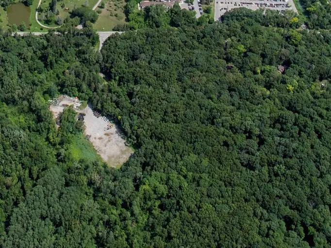 Glazier Way
The Glazier Way Area is bounded by Glazier Way on the north, Fuller Road on the south, the VA Hospital to the west, and private residences and a public school to the east.
