West State Street

Functional Uses
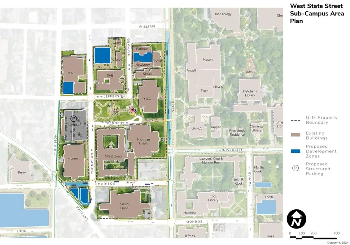
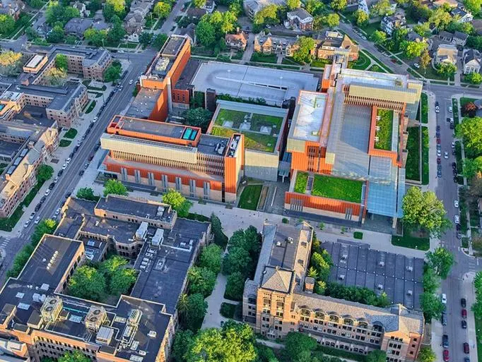
The West State Street Area is located west of the Diag Area and south of the city’s State Street (Business) District. It is generally bounded by East William Street, South Division Street, East Madison Street, and South State Street. An additional parcel of land is due west of the West State Street Area and bound by Packard Street, South Fifth Avenue, and East Madison Street. Additional properties due south of the West State Street Area are bound by East Madison Street, Packard Street, and Monroe Street. The area encompasses a mix of academic, cultural, student life, and support facilities and is home to the College of Literature, Science, and the Arts; Student Life; and surface parking and the Thompson Street Parking Structure.
Development Opportunities
Like buildings in all sub-campus areas, renovation of buildings in the West State Street Area is needed to address universal access, climate action and sustainability goals while also addressing needs associated with current programmatic uses. Campus Plan 2050 identifies several infill development sites (listed below) with the capacity to accommodate academic and research programmatic expansion needs:
- Surface parking lots north of the Student Activities Building.
- Smaller infill site southwest of the Institute for Social Research on South Division and Jefferson.
- Surface parking lot defined by Thompson Street, East Madison Street, and Packard Street, which is identified for a future transit center.
Landscape and Public Realm
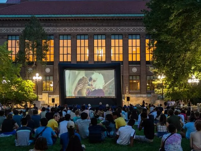
Major landscape and public realm improvements in the West State Street Area focus on Regents Plaza and the site of the former Fleming Building. This site is identified as a new open space over new geo-exchange bores and ground source heat pumps to serve the immediate area. This space is envisioned as a key new community open space and amenity supporting the significant amount of student living in the neighborhood. The space should continue to support informal and programmed public gatherings to encourage engagement and provide enhanced biodiversity and native plantings within Central Campus as part of sustainability and health and well-being goals. Other landscape improvements include the streetscape along South State Street and East Madison where BRT, bicycle, and pedestrian infrastructure is proposed. The iconic viewshed up and down State Street, flanked by historic university buildings, should be preserved and enhanced.
Mobility and Connectivity
Campus Plan 2050 envisions major transportation improvements in the West State Street Area including the introduction of proposed BRT lanes along East Madison Street and South State Street along with bicycle lanes, and accessible pathways. A transit center is proposed on the surface parking lot at the corner of Packard and East Madison where proposed BRT and other bus services connect the new Central Campus Residential Development, other adjacent residential halls, and the significant amount of nearby private student housing with the core of Central Campus, the Medical Center Campus, and North Campus. In support of this new transit center, pedestrian system upgrades including enhanced crossings, lighting, and signage are envisioned as well as potential adjustments to the road. A transit center has also been identified as potential locations for the incorporation of public art. The transit center is proposed along with a conversion of Madison Street from one-way mixed-traffic operation to twoway bus-only operation to support movement in and around the facility. This location provides direct access to proposed BRT services for students housed nearby in existing buildings and in the Central Campus Residential Development, along with staff and faculty needed to support operations in the area. Eventual modifications for South State Street focus on a coordinated effort with the City of Ann Arbor for the segment of public right of way, between South University Avenue and William Street, to potentially support bus-and-bike-only operation with dedicated lanes.
Sustainability and Infrastructure
Geo-exchange bores are proposed under Regents Plaza to partially meet the energy needs of the adjacent buildings. Other opportunities may exist for geo-exchange and ground source heat pumps on each of the identified development sites along with integrated solar PV. Consideration should be given to interconnecting geo-exchange and ground source heat pumps in this area with other parts of Central Campus as redevelopment occurs and opportunities arise for installing a looped system. Stormwater management best practices are recommended with proposed changes to the South State Street section and Regents Plaza.
Next Up:
-

Diag Area
Located in the “heart” of Central Campus, the Diag Area is bounded by North University Avenue, South State Street, South University Avenue, and Church Street.
-

Monroe Mall
Located directly south of the Diag Area, the Monroe Mall Area is bound by South University Avenue, South State Street, Hill Street (just past Forest Avenue), Forest Avenue, and East University Avenue.
